World Class Hiking
The Ozark Highlands Trail has been noted as one of the top ten long distance hiking trails in the US by the Guardian! Also noted by Outside magazine as one of the World’s Seven Great Winter Backpacking Trips! From Outside Magazine: "The Ozark Highlands Trail (OHT), currently 270 miles long (with 50 more trail miles in the works), travels through a little-known stretch of the American wilderness in the northern half of the state. The Forest Service calls it “one of the most scenic trails in the US,” and we’d tend to agree. The best part? With little-to-no thru-hiker traffic, you can have this oasis of wildlife, waterfalls, and ridgelines all to yourself."
The Ozark Highlands Trail named The 8 Best Long-Haul Backpacking Trails in USA for 2022 - Travel your way | Best things to do | Best travel destinations | Road trip planner | Best countries to visit | Cheap places to travel
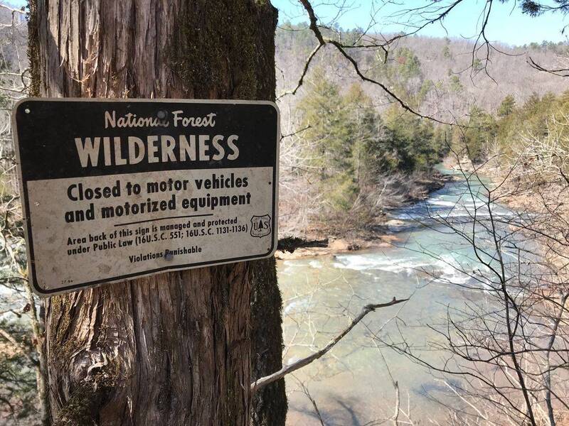
World-ClassHiking! The Ozark Highlands Trail has been noted as one of the top ten long distance hiking trails in the US by the Guardian! Also noted by Outside magazine as one of the World’s Seven Great Winter Backpacking Trips! The Ozark Highlands Trail, which encompasses the Buffalo River Trail, enters western Searcy County near Falling Water Creek and proceeds north to a point across from the Buffalo National River at Woolum, then continues down river to Tyler Bend and on to Dillard's Ferry at the Highway 14 bridge! The bridge to bridge section is approximately 28 miles and from Lake Fort Smith State Park through Searcy County is approximately 218 miles! It's a good idea to wear fluorescent orange while hiking during fall hunting seasons. Always leave a trip plan with someone. Watch the weather! Contact the Buffalo National River for details! Buffalo River Trail segment south of the Buffalo River from Woolum to Tyler Bend. North of the river trail from Shine Eye to the Gilbert Trail and the Old Railroad Trail down river from the Town of Gilbert Arkansas to the railroad pier and back. Back south of the Buffalo River there is trail from Highway 65 downriver to Red Bluff Road, Red Bluff Road to South Maumee Road, South Maumee Road to Spring Creek Road, and Spring Creek Road to Dillard's Ferry! Tyler Bend has hiking trails for pets! Buck Ridge, Spring Hollow, and Rock Wall! Easy, scenic 1.5 mile round-trip hike at the Stem Rock Natural Area near Oxley! Marshall has wonderful hiking at the Mountain Homestead Natural Area and at the Bobcat Trail! Also, an excellent hiking trail on the west side of Falling Water Creek takes you to multiple waterfalls! Stop by the Richland Waterfalls Welcome Center in Witts Springs or contact the Ozark National Forest to get information!
Oxley and the Stem Rock Natural Area! The Stem Rock Natural Area has a beautiful rock formation near Oxley! The 3/4 mile trail from the parking area to the rock formation is mostly level. There is a sign at the trailhead where you park. No vehicles are allowed down the trail, but you can mountain bike down. This is along The Ozark Grinder Trail bike trail. If you're into Geocaching, there is a cache at Stem Rock! See if you can find it! Search GC code “GC75BGF”. The Oxley Store & Diner is a must stop location for food and supplies for locals, cyclists, hunters, motorcycle riders, etc. The store sits along the Mountain Music Highway between Leslie and Mountain View and is also along the Ozark Grinder Trail for gravel riding cyclists! The gateway to the scenic and remote Meadowcreek and Middle Fork of the Little Red River areas!